:::
Legal and illegal points of exit and entry in early Qing Dynasty
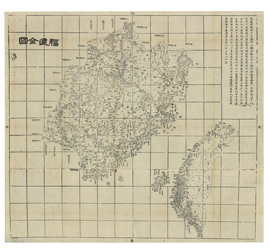

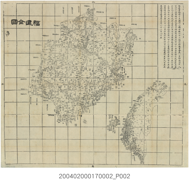
This is the Map of Fujian Province (partial) of The Complete Map of the Provinces of the Royal Dynasty. In 1885, Taiwan was still under the jurisdiction of Fujian Province.
The Complete Map of the Provinces of the Royal Dynasty was produced by the official publishing bureau, based in Wuchang, Hubei, in 1864. The shape and text of the map can be traced back to the Atlas of the Qing Dynasty in 1789, as well as the Atlas of the Great Qing Dynasty in 1863. This is a complete map of Taiwan during the Qing Dynasty, featuring longitude, latitude and scale.
In addition to the shape of Taiwan island, the map also depicts two major bays in eastern Taiwan, while the label Suao in the north presumably refers to the modern day Suao Harbor in Yilan County. The bay in the south is unnamed. The map depicts the complete province of Fujian, as well as Penghu Archipelago and the geographic details of Taiwan, including rivers, mountains, lakes and coasts. Different symbols are used to demonstrate the locations of city governments, states, prefectures and counties.
:::
- 地址:709025臺南市安南區長和路一段250號
- 電話:06-356-8889
- 傳真:06-356-4981
- 無障礙服務專線電話:06-356-8889 分機 8103
- 更新日期:2025-03-24
- 訪客人數:1,592,401
國立臺灣歷史博物館著作權所有 © National Museum of Taiwan History. All Rights reserved.